
Walk an Edwardsville Street Record
A useful Edwardsville street directory entry begins with place, not a claim about occupancy. Madison County assessment files connect a site address to a permanent index number, or PIN, and a tax-record owner. The map adds parcel shape and nearby lots. Recorded instruments then show transfers and legal descriptions. Voter material and historical directories have distinct purposes and dates, so they must stay labeled rather than being blended into a present-day household list.
- Standardize the street, unit, city, state, and ZIP with the official USPS lookup. This confirms postal form, not a resident.
- Search the exact site address in Madison County DEVNET. Save the PIN, owner field, tax year, and separate site and mailing addresses.
- Open the county GIS viewer to check parcel geography and adjoining lots. Confirm live layers because the research capture did not expose them.
- Use the Recorder's index and document vocabulary to follow deeds, plats, easements, and releases tied to the PIN or legal description.
- For a dated household question, consult library directories, atlases, newspapers, or census records and cite the exact year and page.
This chain avoids a common mistake. A mailing address can be where a tax bill goes, while a situs address is where the parcel sits. Neither alone identifies every occupant. Note: Preserve the spelling shown in each Edwardsville source and place any standardized version in a separate field.
Search Edwardsville Streets in DEVNET
The public Madison County DEVNET inquiry is the strongest first address index. Use one main criterion at a time. A broad form filled in every field can hide the record being sought. Site-address criteria identify a parcel location; mailing criteria describe the tax-bill destination. The portal has no login charge for searching, but its county disclaimer says the information is best effort.
| Search group | Visible controls | Street-directory meaning |
|---|---|---|
| Parcel | Parcel Number | Search the PIN alone when known. |
| Owner | Owner Name | Tax-record owner, not proof of identity or occupancy. |
| Site address | House Number Low/High, Street Name, City | Mapped parcel address; no separate site ZIP was visible. |
| Mailing address | Address, City, State, Zip Code | Tax-bill route, which may differ from the site. |
| Sale | Price and date ranges, Document Number | Transfer context, not a move date. |
| Advanced | Tax code, district, class, township, land use, tax year | Filters whose live options can change. |
A result can supply PIN, tax year, class, township, land use, assessment, sale information, lot and building facts, and map context. A record card may also be viewed at the township assessor or the Chief County Assessment Office. Save the access date because assessment and deed updates do not occur on the same schedule.
Edwardsville Address Terms Matter
Street research becomes much clearer when every value retains its official label. A parcel number links assessment and map records. The legal description links the land through deeds even when a street label changes. Later directories may include an address-order section, but the research found no verified complete Edwardsville reverse-directory run, so never promise one without checking the edition.
- Parcel or PIN
- The county's permanent index number for a mapped tax parcel. A split or combination may create a new one.
- Situs address
- The physical site address assigned to the parcel, distinct from a tax mailing address.
- Plat
- A recorded map that identifies a subdivision, lots, blocks, boundaries, and related land details.
- Criss-cross directory
- A directory section arranged by street and house number instead of by surname.
Madison County warns about missing suffixes, incomplete lot or block details, former names, and incomplete legal descriptions in documents. Keep North and N, Saint and St, directional prefixes, street types, unit numbers, and name suffixes as searchable variants.
Normalize an Edwardsville Street Address
The official USPS ZIP Code Lookup separates its work into By Address, By City and State, and Cities by ZIP. The address form accepts an optional company, required street, apartment or suite, city, state, and ZIP. Use the returned format as a modern comparison value. USPS expressly warns that a match does not confirm that a person or company is present there.
After postal formatting, use the Edwardsville City Maps and county GIS to test jurisdiction. A postal city label, ward, zoning area, parcel boundary, and city limit answer different questions. The official city maps include city, ward, zoning, parks, and other planning context, while the parcel map supplies county land geography. The research found no complete official street-grid rule, E911 addressing page, or current citywide renumbering history.
- Save the source's original street string unchanged.
- Add USPS formatting in a separate comparison field.
- Keep the unit because one street number can have several deliveries.
- Record whether a value is site, mailing, voter, legal, or historical.
- Add the portal name and date beside every address.
This step makes the Edwardsville street directory searchable without erasing evidence. A ZIP+4 describes delivery detail. It does not define an owner, parcel, district, city limit, or household. Note: Resolve a disputed assignment through current USPS, City Maps, and county GIS rather than a third-party ZIP list.
Map Edwardsville Parcels Carefully
The Madison County GIS Viewer supplies the geographic handoff after DEVNET. It can establish parcel relationships and map-number context, but the official viewer did not expose live search labels, layer names, identify tools, or export controls during research. Confirm those controls in the current viewer before describing a specific layer.
The Chief County Assessment Office explains how a PIN's area, section, and subsection segments relate to a map number. Maps & Plats handles parcel splits and combinations. When a historic and current PIN differ, compare lot, block, subdivision, legal description, map number, and recording dates rather than forcing a match.
Edwardsville Records Indexed by Address
An Edwardsville street directory can draw from several official record classes, but each supports a different statement. The keeper, date, and relationship should appear beside the result. If a city portal lacks a complete address index, request the existing permit, plan, agenda attachment, or zoning record by exact address, PIN, project, and date range.
| Record Set | Keeper | What It Shows | Access |
|---|---|---|---|
| Assessment card | CCAO or township assessor | PIN, owner, site and mailing addresses, assessment, sale and tax fields | DEVNET; some cards in person |
| Parcel map | County GIS / Maps & Plats | Parcel geography, map number, adjacency, split or combine context | Official viewer; live controls need confirmation |
| Deeds, liens, plats | Madison County Recorder | Grantor, grantee, instrument, legal description and recording chain | Tapestry after 1984; Laredo agreement, vault, or copy request |
| City project records | Planning, Public Works, Clerk | Public permit, plan, zoning, agenda or approval facts by address | City archive, agenda records, or FOIA |
| Historical sources | EPL, MCGS, IDA, archives | Dated household, atlas, newspaper, census, or cemetery references | Online, library login, onsite, or archive request |
The parcel number is the cleanest bridge among assessment, map, deed, and many permit records. Street text remains useful for a historical directory or newspaper, but spelling and numbering can drift. Madison County voter material is restricted to bona fide political purposes under Illinois election law; it is not a general household directory.
Follow Edwardsville Deeds by Street
The Madison County Recorder holds land records beginning in 1812. Once DEVNET supplies an owner and PIN, search the latest deed, then capture grantor, grantee, instrument type, recording date, document number, book or page, legal description, and lot or block. The Recorder's document vocabulary helps distinguish deeds, mortgages, releases, liens, easements, plats, and other instruments.
Online access is not the only channel. The official copy guidance identifies Tapestry for records after 1984. Laredo requires an agreement, while older material may require vault research, staff help, microfilm, or a copy request. Mailed copies are listed at $1 per page and emailed copies at $2 per page, with payment before email and a usual five-to-seven-business-day turnaround. The Recorder does not perform title searches or give legal conclusions.
The official Recorder document page shows the range of records that can extend an Edwardsville address trail.
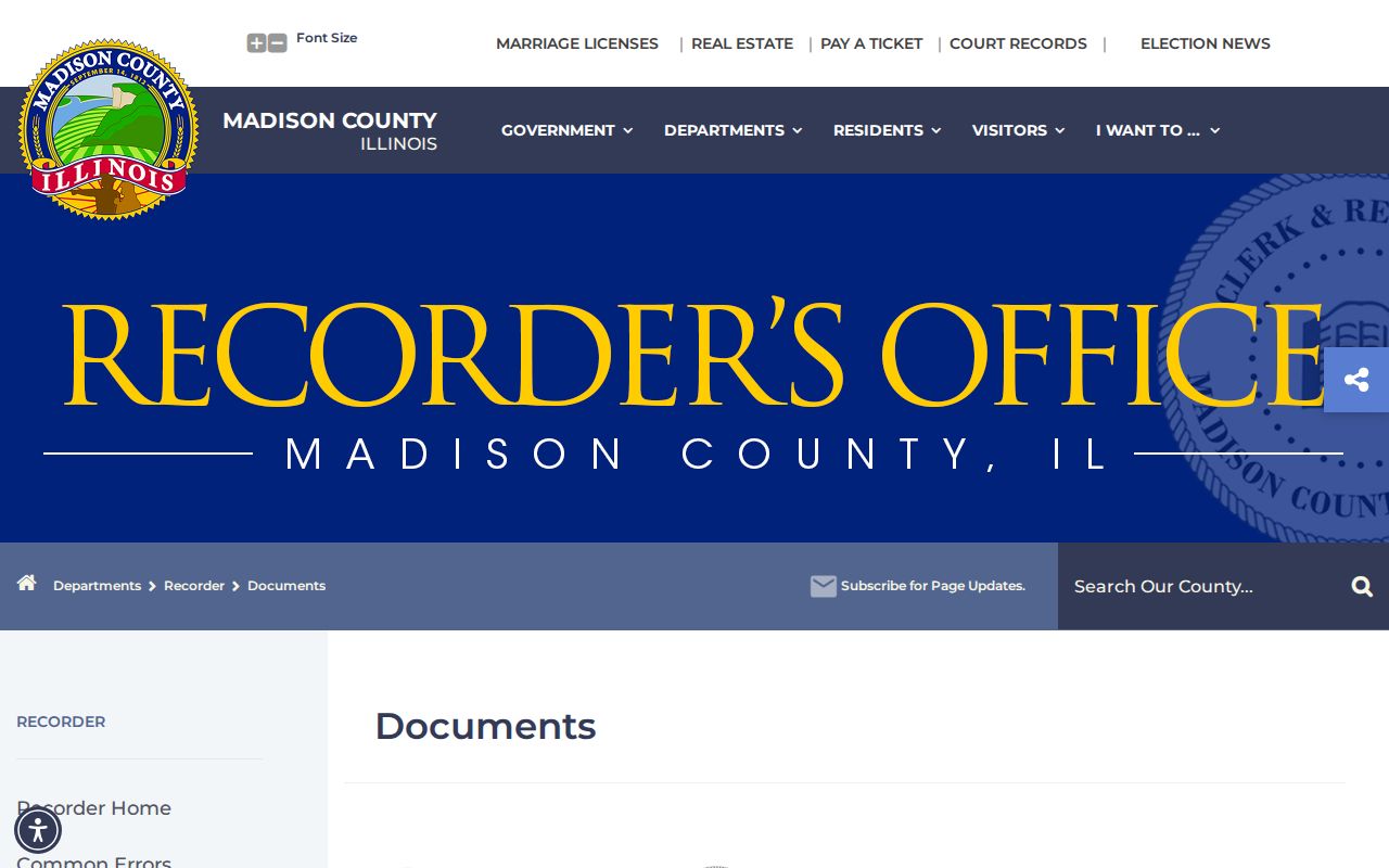
The captured page is a starting vocabulary, while the actual instrument and legal description provide the evidence for a parcel history.
The Recorder office page gives the custodian route when an index search is not enough.
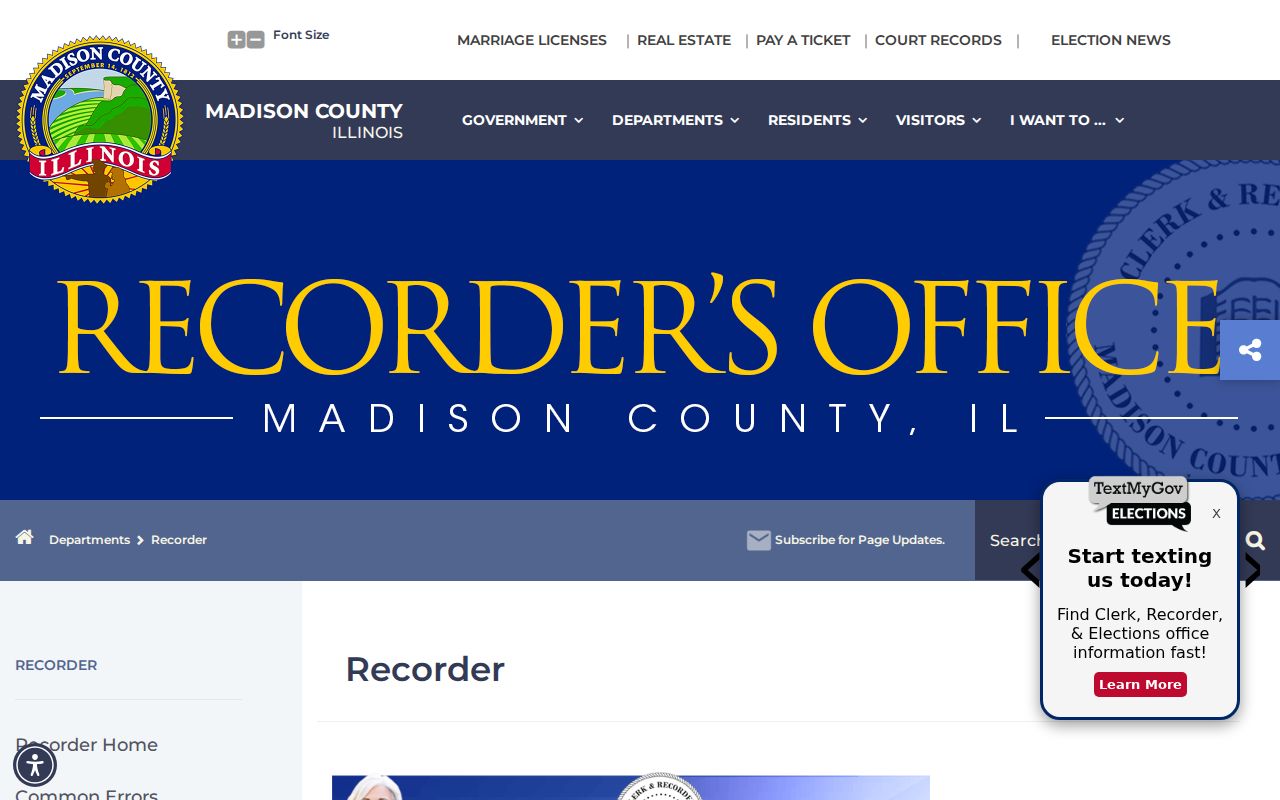
The office route matters for vault material, staff guidance, copy requests, and records outside the stated Tapestry period. Bring a reference number when one can be found first.
The Recorder links the Tapestry grantor and grantee search for its online land-record channel.

The grantor is the party transferring an interest; the grantee receives it. Search both roles when following a chain, and confirm each hit against the instrument image or official copy.
Edwardsville Street Project Files
The Edwardsville Archive Center searches by category, keyword, time period, and date range. Its visible categories included budgets, check registers, annual financial statements, vendor expenditures, and environmental reports. An address may also appear in council packets, planning records, zoning decisions, bids, permits, or public project pages. These are dated civic records, not resident rosters.
The city archive search screen is the official fallback for dated municipal files.
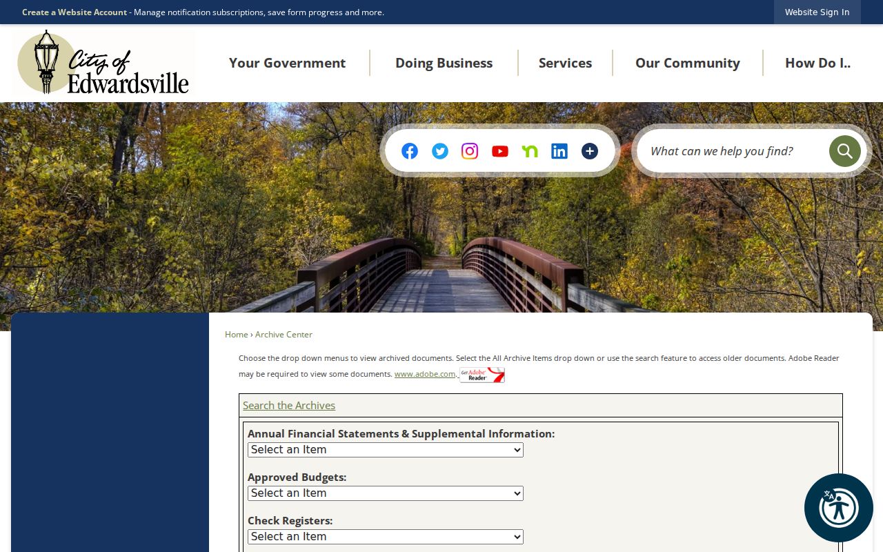
Use a street, project name, department, and narrow date range, then cite the attachment rather than the search-results page alone.
The city's Goshen Commons project page illustrates how an Edwardsville address can acquire a public record trail.

Use the project's title, address or PIN, record date, and attached agenda or plan rather than inferring private facts about people nearby.
When no portal result appears, file a narrow request through the Edwardsville FOIA route. Name the department, exact address, record class, and date range. Illinois FOIA generally requires a response within five business days, subject to statutory extensions and exemptions, but it does not require creation of a new street directory.
Date Edwardsville Historical Addresses
Edwardsville's official history supplies real address anchors: the early public square in the 1200 block of North Main, the Pogue Store wall at 1201 N Main, the Dr. John Weir House at 715 N Main, and the 1820 brick home at 409 S Buchanan. Historic atlases from 1873, 1892, and 1906 add map evidence. A directory, deed, or newspaper may use an older number or landmark wording, so the date belongs beside every address.
No official date for a citywide renumbering or street rename was found. Resolve a mismatch with a legal description, recorded plat, atlas, Sanborn map, newspaper, and official city map. The complete historical collection and its access limits are covered on the Edwardsville city directory page.
Limits of Edwardsville Street Records
A parcel owner, tax mailing recipient, voter registrant, permit applicant, business address, and historical directory household are different relationships. The Edwardsville street directory cannot turn those records into a verified current occupant list. Driver and utility customer data are not public street-directory sources. Protected voter fields and Address Confidentiality Program records also cannot be reconstructed from other sources.
Lawful use. Use Edwardsville address records for a defined, lawful personal, family-history, property, or civic question. Never use them to stalk, harass, threaten, or harm anyone.
For a missing public city record, request the existing file instead of asking an agency to compile “all residents” of a street. A blank search is not proof that no record exists. Record the portal, search terms, date, and fallback office.