
Edwardsville Neighbors by Source
Official sources describe land, ownership, boundaries, and limited civic facts. They do not form a complete household roster. For Edwardsville neighbors, choose the source that matches the block question, then note its date and custodian. The assessment roll can name an owner and tax mailing address. The GIS viewer supplies parcel geography. The Recorder documents transfers and offers one formal nearby-parcel service. City maps establish municipal, ward, and zoning context.
| Source | Block Evidence | Access |
|---|---|---|
| Madison County GIS Viewer | Parcel shapes, map position, boundaries, nearby parcels | Public viewer; controls vary |
| DEVNET assessment roll | Owner, site and mailing address, PIN, sale and tax facts | Free public search |
| Recorder variance listing | Current owners and addresses within 250 feet | Official request with stated fees |
| Edwardsville City Maps | Ward, zoning, and municipal geography | Public city map hub |
| Voter resources | Registration and district context | Purpose and privacy limits apply |
An owner is not the same as an occupant. A mailing address may be where the tax bill goes. A voter record may show registration but not present occupancy, and access is limited by Illinois election law. No maintained official Edwardsville neighborhood-association directory or public block roster was located. That gap should remain visible.
Edwardsville Neighbor Parcel Map
The Madison County GIS Viewer is the map route for parcel research. Its live layer names and parcel fields did not render during text capture, so use the controls visible in your browser and avoid assuming that an undocumented buffer tool exists. Start with one parcel. Then inspect each touching parcel and carry its PIN into DEVNET for the dated assessment record.
The County assessment office explains the custodian behind owner, value, sale, and parcel fields.
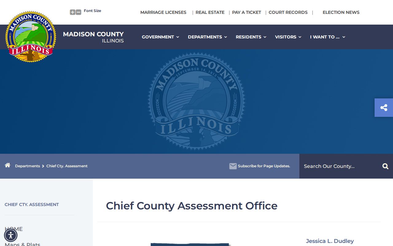
The captured office page provides a reliable handoff when the public search needs staff help.
Map an Edwardsville Block
Move outward one parcel at a time. The goal is a small, dated block picture, not a bulk list. DEVNET accepts owner, parcel, site address, mailing address, sale, document, tax code or district, property class, township, land use, and tax-year filters. Use one main criterion first. Filling every field can hide a valid match.
- Standardize the known street address and find it in DEVNET or the county map.
- Record the anchor parcel's PIN and map position. Check city maps before assuming that a postal Edwardsville address lies inside city limits.
- Select the parcels sharing a line or corner with the anchor. Search each PIN in DEVNET and note the tax year.
- Compare site and mailing addresses. Treat a match as possible owner occupancy, not proof of every resident.
- Use the Recorder when a deed, plat, split, or nearby-parcel listing answers the next question.
This method stays close to the starting home. For every parcel on a named road, use the Edwardsville street directory workflow.
Decode Edwardsville Parcel Numbers
A PIN, or parcel identification number, is the county key for a tract. The CCAO FAQ explains how PIN segments relate to area, section, subsection, block, and parcel, and how those pieces connect to a map number. That logic helps when a street address is missing or has changed. It also distinguishes two nearby lots with similar mailing descriptions.
The CCAO parcel FAQ shows the county explanation.
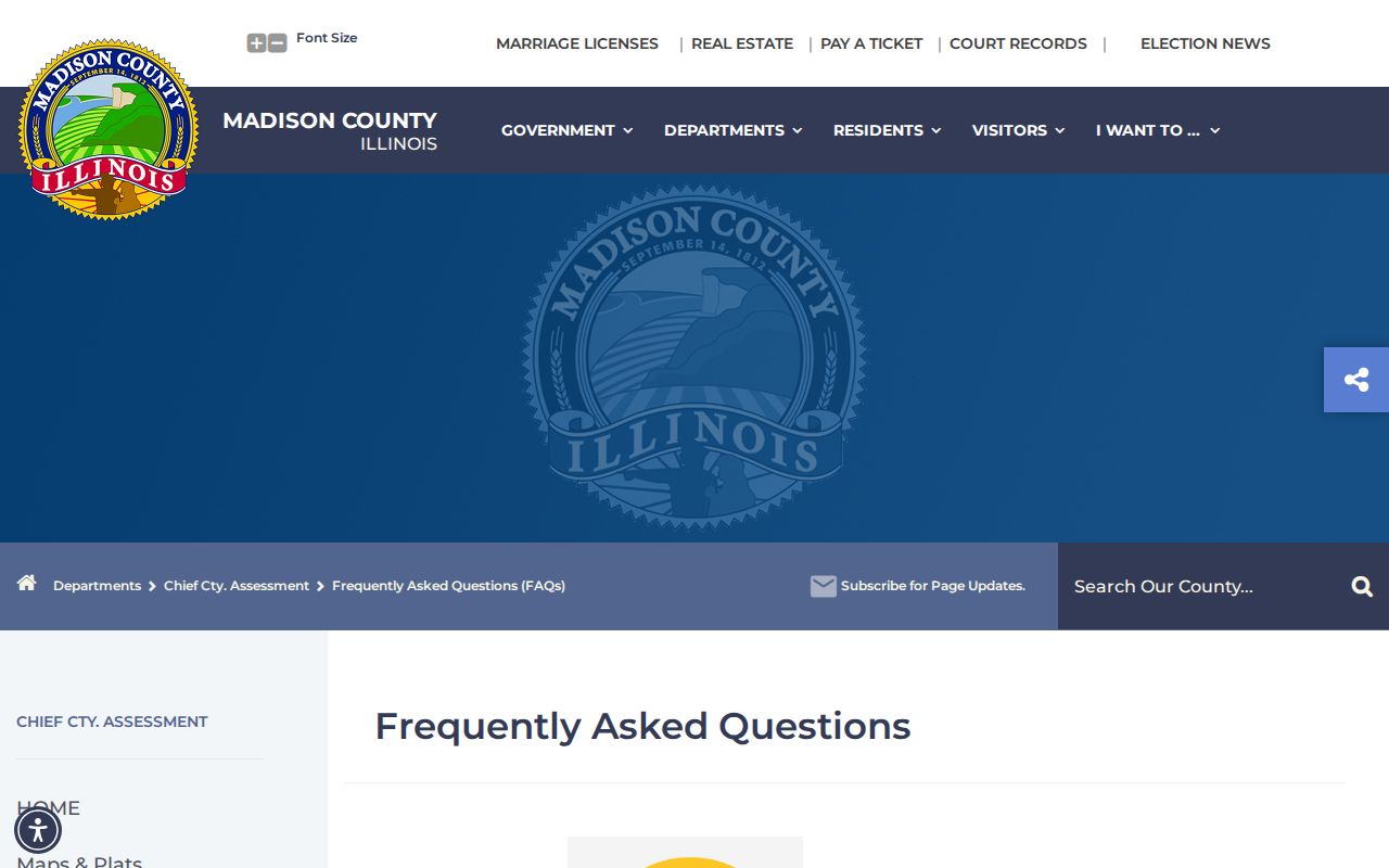
The image supports map navigation without publishing a private household profile.
- Parcel
- A tract tracked as one assessment unit.
- PIN
- The county identifier joining map, assessment, and land records.
- Site address
- The physical parcel location, which can differ from its tax mailing address.
Edwardsville's 250-Foot Record
Madison County offers an unusually specific block tool. Recorder Maps & Plats can prepare a 250-foot variance parcel listing with current owner names and addresses within the set distance. The Deed Policies document states a $10 search charge plus $0.25 for each parcel printout, paid by cash or check. Ask for the service by its formal name and define the anchor parcel clearly.
This official listing supports notice research around a variance. It is not permission to build a broad contact database. The office also disclaims title searches, deed preparation, legal-description verification, easement research, and legal advice.
Place Edwardsville Neighbors Correctly
Postal names and city limits do not always match. The Edwardsville City Maps hub is the city source for ward, zoning, and municipal context.
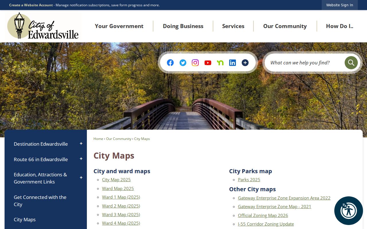
The map view helps prevent an adjoining parcel from being labeled as an Edwardsville city parcel solely because of its mailing address.
Historic context comes from Madison County atlases dated 1873, 1892, and 1906 in the Illinois Digital Archives. They show old roads, parcel patterns, landmarks, and owner labels. An atlas label is not proof of occupancy. Compare it with a deed, directory, census, or newspaper from the same period.
Edwardsville Community Directory Gaps
No official, maintained umbrella directory for Edwardsville neighborhood associations, homeowners groups, congregations, block watches, or civic rosters was found. Public event attendance does not prove membership. When community context matters, use the City Council Agenda Center, city archive, or a named organization's own current contact page, and ask only for the public record needed.
| Route | Reliable Use | Limit |
|---|---|---|
| Official parcel and city records | Dated ownership, boundaries, wards, zoning | Does not list every resident |
| Named civic organization | Published officers or contacts | No inference about private membership |
| Commercial neighbor tools | Possible starting hints | Compiled data may be stale, merged, or unsourced |
Official records cite a custodian and date. Commercial compilations may merge people with the same name or retain an old address. Verify any useful hint against the parcel, deed, city, or library source that owns the fact.
City records can still explain why a block changed. The Edwardsville Agenda Center and Archive Center hold agendas, minutes, bids, and attachments tied to public projects. Planning and Public Works forms cover zoning, subdivision, variance, signs, demolition, and site development. A complete public address index was not found, so request a defined record by address or PIN and date range. Save the agenda title, meeting date, attachment, and decision. These civic files may identify an applicant or project contact, but they do not identify all Edwardsville neighbors or prove that a named person occupies the parcel.
Protect Edwardsville Property Records
The Recorder's 2026 notices describe a county-linked property-fraud alert and referral process. The service can notify a subscriber when a document is recorded under a watched name. It does not prevent a filing, erase a document, prove fraud, or replace title review.
The Madison County Property Fraud Alert page shows the enrollment route.
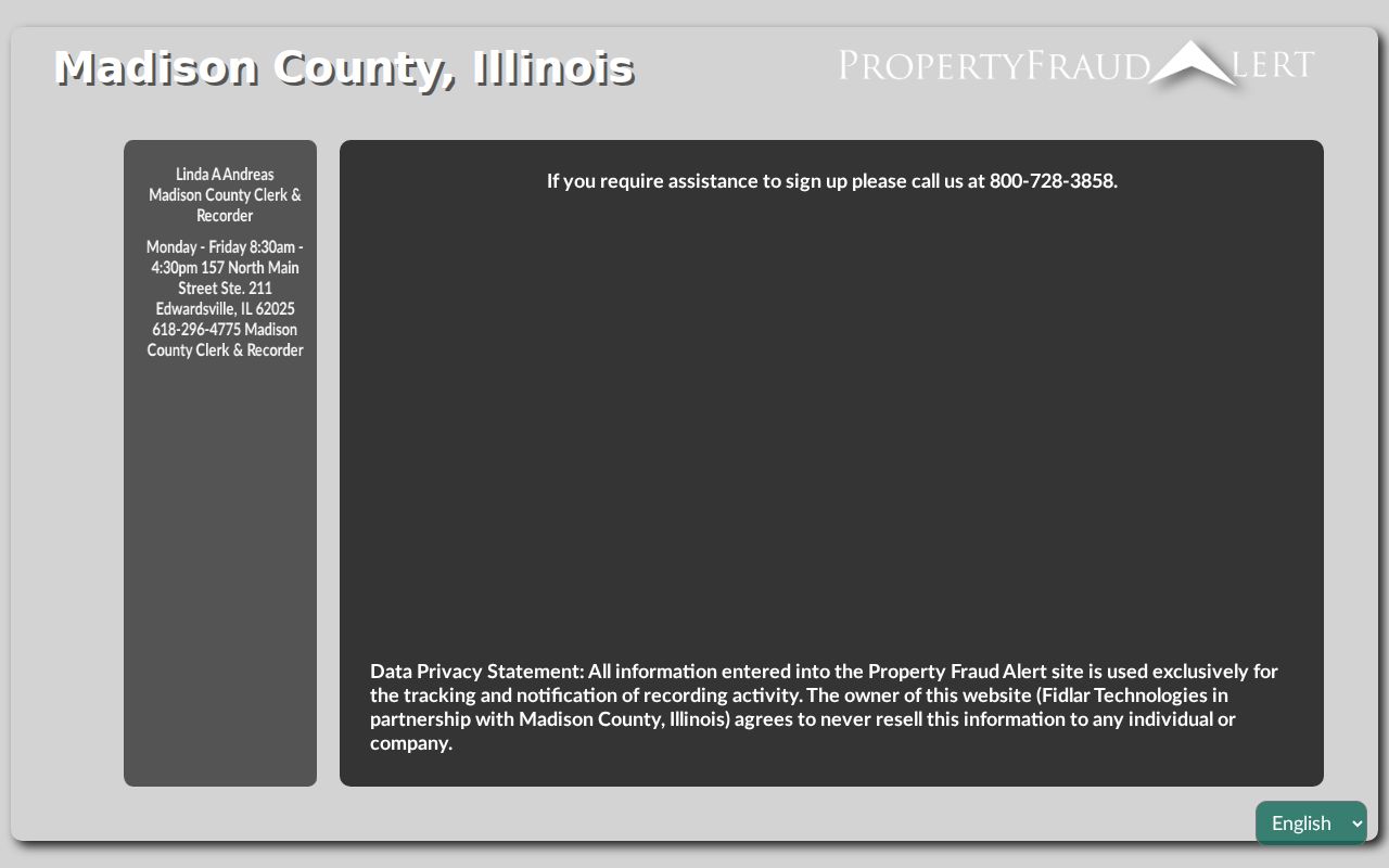
The alert concerns recorded documents tied to a name, not everyone living on a block.
The Recorder notices page supplies county context.
Check the live notice because the process can change.
Privacy for Edwardsville Neighbors
Property rolls do not identify every renter, child, guest, or household member. Utility, delivery, school, motor-vehicle, and protected address data are not open block directories. Illinois voter data carries statutory redactions and purpose limits under the Election Code. The Attorney General's Address Confidentiality Program provides a substitute address for eligible survivors, though it does not erase every older public record or guarantee secrecy in land records.
Redact full birth dates, signatures, account numbers, private phone numbers, personal email addresses, protected voter information, and ACP addresses. A record can be public without being fit for republication. If a parcel result looks wrong, contact the CCAO or Recorder.
Lawful use. Learn about Edwardsville neighbors for civic context, reconnection, or personal safety. Never use block records to watch, intimidate, stalk, or harass anyone.